
Emergency Management
We safeguard the Tribe through preparedness, response, and recovery efforts that protect lives, property, and cultural resources during times of crisis. Our work ensures that the community is ready to face natural disasters, wildfires, and other emergencies with resilience and care.
About the department
The Karuk Tribal Emergency Management Office mission is to protect the life, property, cultural areas, and environment of Karuk Tribal members, their families and communities by coordinating activities that mitigate the effects of, prepare for, respond to, and recover from all hazards and disasters, using a collaborative, risk-based approach. As a sovereign entity exercising our inherent right to self-governance, we are committed to preserving our ancestral territories, traditional resources, and cultural heritage while building resilient communities.


How can I prepare?
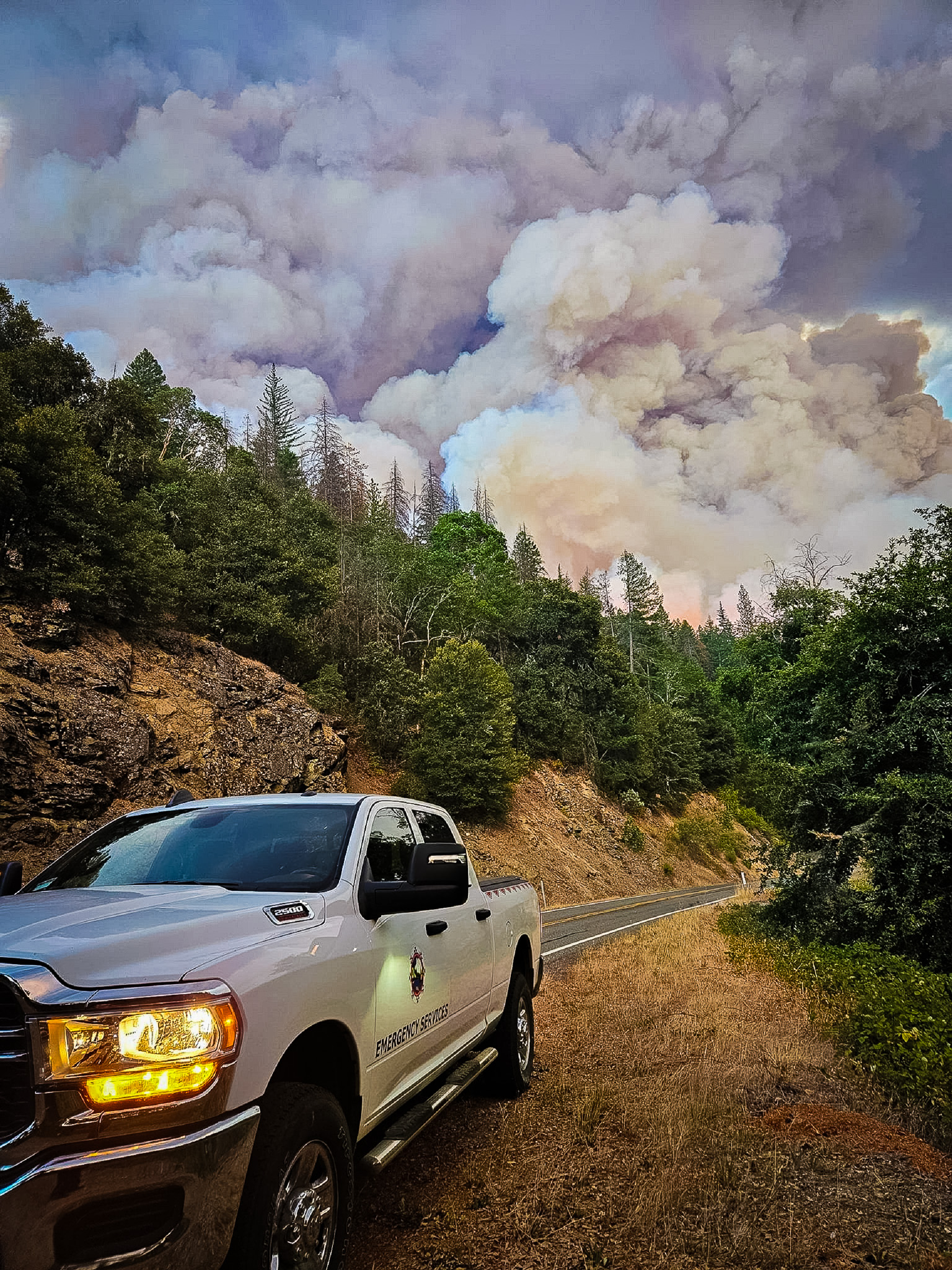
A disaster can strike without notice, and evacuations may be issued at any time for various emergencies. You may have hours to evacuate or only minutes to flee. You can take the necessary steps now to prepare yourself and your property.
Know your alerts
Ready Siskiyou (Smart911) is the next-generation emergency notification system used by Siskiyou County. Launched in April 2024, it replaces the older CodeRED system and offers faster, more accurate updates about wildfires, evacuations, severe weather, and other public safety incidents.

Know your zone
Siskiyou County OES, Local Fire and Law Enforcement have collaborated to identify your evacuation zone. Know all your exits and understand how to get out both in daylight and darkness. Visit Genasys Protect to find your zone.
Be ready
Make a kit, have a plan, and practice it. Use the checklist below to guide you.
Stay together!
Please take only ONE vehicle in an evacuation, whenever possible, to minimize gridlock. Prepare this vehicle for evacuation by keeping the gas tank full and parking it facing the street for a quicker departure.
Helpful Links
Stay informed with trusted resources for wildfire, travel, and water conditions.
InciWeb – Wildfire Incident Information
Official interagency site for real-time updates, maps, and details on active wildfires and other incidents.
Oregon DOT
Official Oregon Department of Transportation site offering real-time maps, traffic camera feeds, incident alerts, weather and pavement conditions, closures, and travel advisories to help you plan your route.
River Forecast
Official California Department of Water Resources portal providing real‑time hydrologic data—river forecasts, streamflow, reservoir levels, snowpack summaries, and precipitation charts—to support flood management and water monitoring initiatives.

Emergency Management FAQs
Answers to common questions.
We develop and maintain comprehensive emergency preparedness plans that honor Tribal sovereignty and traditional knowledge, ensuring our response is both effective and culturally grounded.
We also provide CPR and First Aid training.
We foster strong partnerships with federal, state, local, and Tribal agencies while maintaining our autonomous decision-making authority.
We empower our community through emergency preparedness education, training, and resources so that all members are equipped to respond in times of need.
Contact Department
Have questions? Reach out to us for more information.